A severe weather system is expected to sweep across parts of Slovenia tonight, with potential for localized storms, heavy rainfall, and strong gusts of wind. The Agency for the Environment of the Republic of Slovenia (Arso) has issued an orange warning for the western part of the country, highlighting the risk of stormy conditions during the night. The weather pattern is linked to a weakening high-altitude disturbance originating from northern Italy, which is moving eastward and could affect larger areas of Slovenia. The movement of the storm cell and the nocturnal severe weather can be tracked through radar images provided by the agency. These images show the current state of precipitation, though they update approximately every seven minutes. The time displayed on the radar image is in Coordinated Universal Time (UTC), which differs from local time in Slovenia, winter time is one hour ahead, and summer time is two hours ahead. For example, if the radar shows 7:00, this corresponds to 9:00 in local time during the summer months. According to reports, the storm systems are expected to move quickly toward the east in the evening, potentially forming a storm line that could cover much of Slovenia. The strongest risks are anticipated in the northwestern regions, where localized thunderstorms with strong winds, brief but intense showers, and possibly hail could occur. While the overall amount of rain is not expected to be excessive due to the rapid movement of the storms, the intensity of individual downpours could pose challenges. The National Meteorological Institute of Slovenia (Meteoinfo) also notes that the influence of a weakened cold front will bring cooler air overnight, following a hot day. Storms already developing over northern Italy are set to reach Slovenia around 9 p.m., with some arriving by 9 p.m. local time. There is a possibility of a storm system forming that could cross the northern or central parts of Slovenia, increasing the likelihood of stronger wind gusts beyond the initially warned areas. Looking ahead, the weather forecast suggests partly cloudy skies with variable cloud cover on Sunday. A few more showers and perhaps another storm could develop, particularly in the interior of Slovenia, where winds will blow from the eastern directions. High daytime temperatures are predicted to range from 27 to 32 degrees Celsius, with slightly lower readings in the Upper Savinja Valley near 24 degrees Celsius. Monday is expected to be mostly sunny, although some low-level cloudiness might persist in certain areas. In the north, light showers and storms could form in the afternoon. Temperatures will rise again, making it somewhat warmer than previous days. Meanwhile, the weather situation over the British Isles indicates a low-pressure area affecting the region, while a cold front from the northwest has reached the Alps, bringing warm and dry air towards the Slovenian territory.
★
Ohranimo novice poštene.
ObjectiveNews financirajo bralci in je brez oglasov – pristranskost vam pokažemo, ne skrijemo. Podprite neodvisno novinarstvo za 4 €/mesec.
Postani podpornik
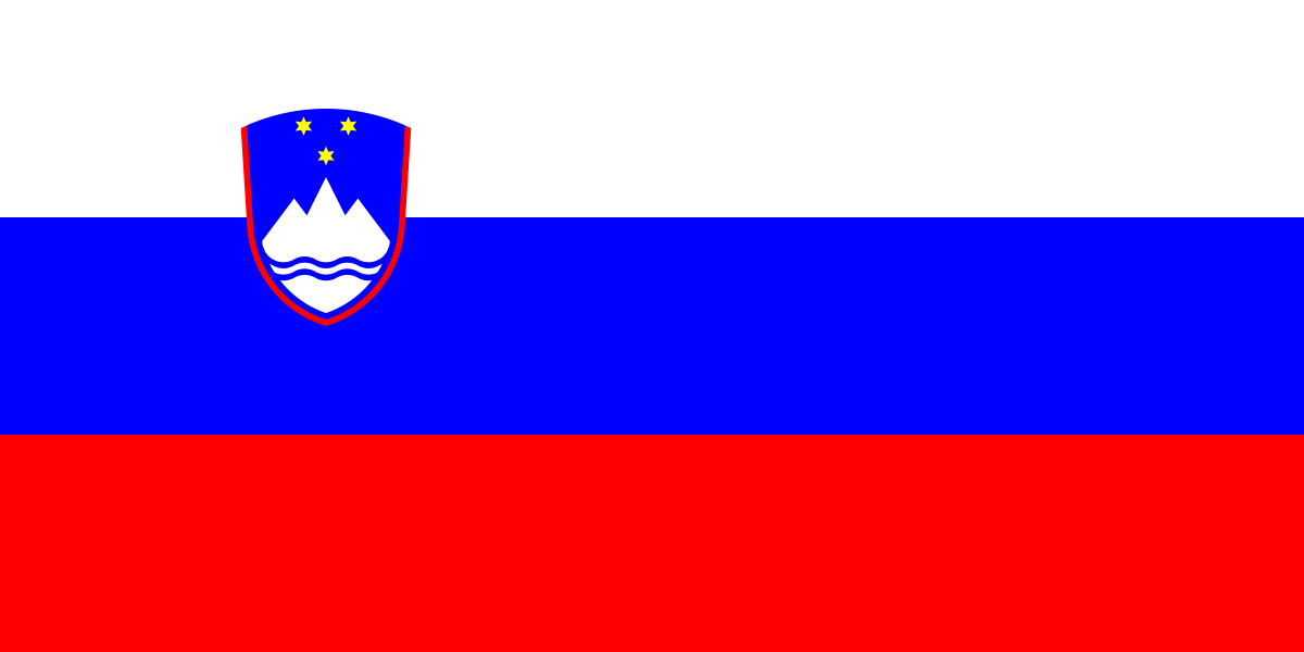 Slovenia


